Flood and drainage intelligence
Catchment, rainfall, runoff, water-level and inundation workflows for planning, screening and resilience.
Explore flood modelling →Solutions
A solution combines the right spatial data, model depth, domain rules, validation and delivery format. These solution patterns can be configured for a site, network, catchment, farm area or asset portfolio.
Solution snapshots
Each snapshot shows a common decision environment, the evidence we prepare and the page where you can explore that solution in more detail.
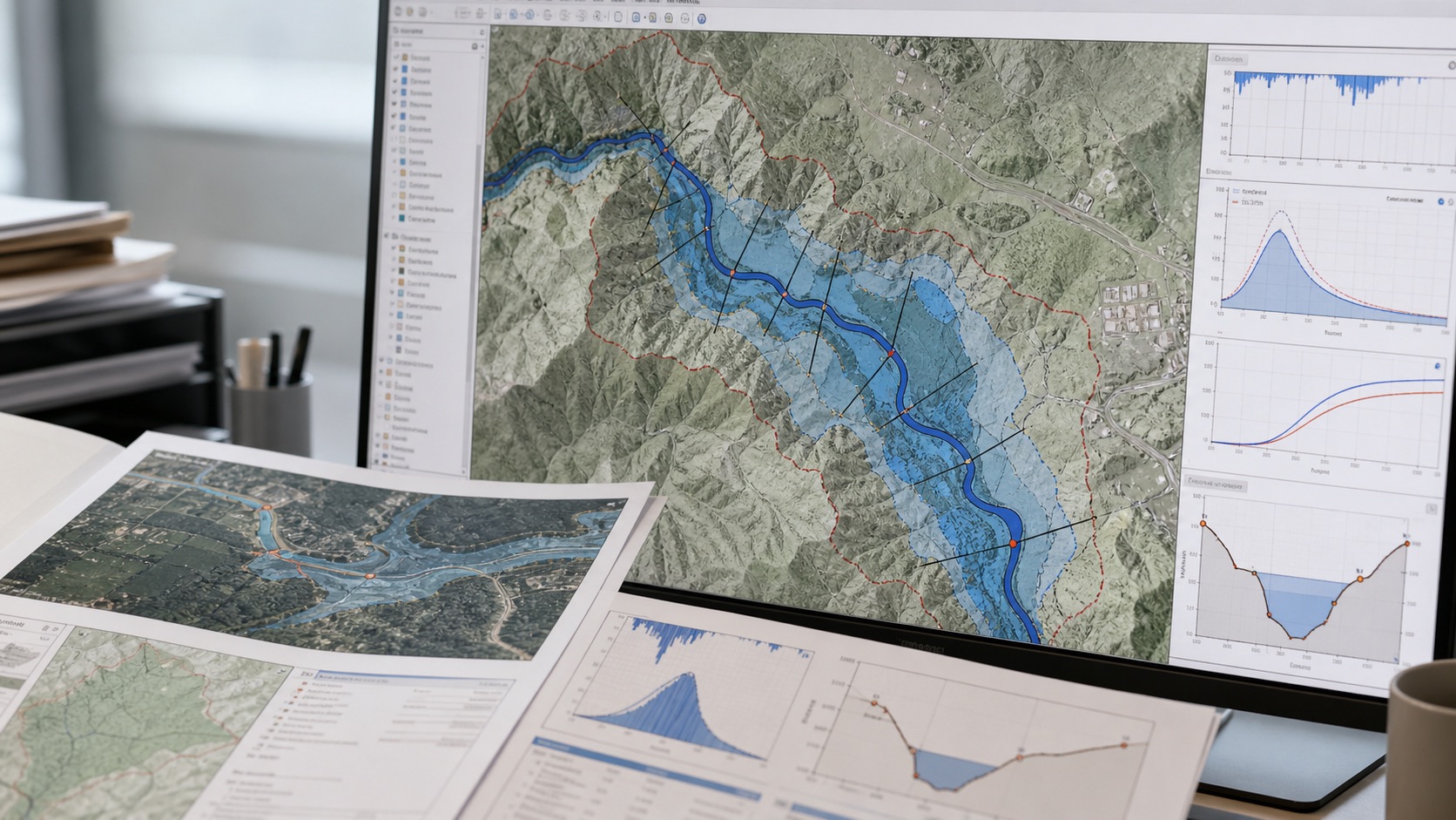
Catchment, rainfall, runoff, water-level and inundation workflows for planning, screening and resilience.
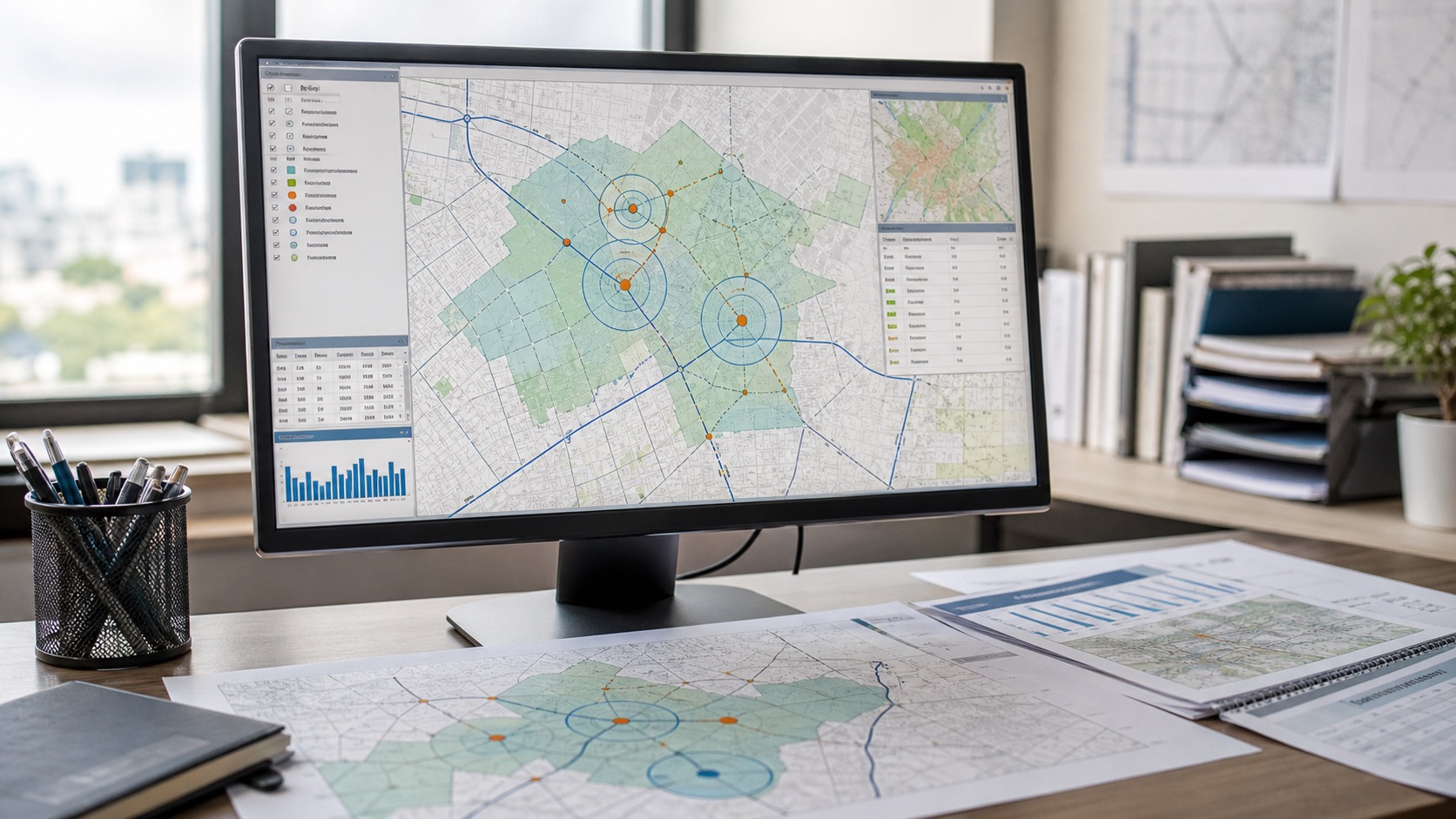
Explore flood modelling →Compare demand, access, competition, cost, hazards and policy constraints with transparent weights.
Explore site selection →Identify concentrated exposure, data gaps and priority locations across distributed asset portfolios.
Explore GeoRisk →Screen flood, heat, water stress, storms, wildfire and environmental sensitivity with scenario context.
Combine population, facilities, travel access, urban form and vulnerability to prioritise investments.
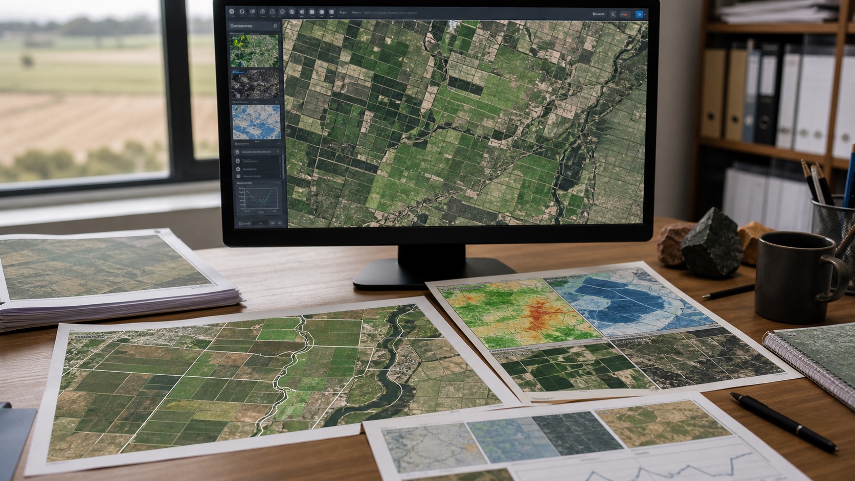
Track vegetation, crop condition, land cover, moisture, water, soil and change through repeatable satellite workflows.
Explore agriculture monitoring →Map hazard exposure, vulnerable populations, emergency access, facilities, fuel and logistics support.
Solution FAQ
Start with the decision, geography, required confidence, available data and consequence of being wrong. The right workflow may be flood modelling, site selection, remote sensing, climate screening, infrastructure analysis or a combination of methods.
They are used to compare locations, map risk, monitor land and agriculture, plan infrastructure, screen assets, understand accessibility and turn spatial data into decision-ready reports, maps and GIS layers.
Useful inputs include coordinates, boundaries, asset lists, satellite imagery, terrain, rainfall, roads, facilities, land cover, market context, climate hazards and local validation evidence.
Yes, but scoring and interpretation should change by domain. Banking, insurance, agriculture, infrastructure and logistics decisions may share spatial signals while applying different weights and validation rules.