Share the location and decision
Tell us the geography, user, deadline and business or engineering choice the work must support.
Contact
A useful first conversation covers the geography, the decision being made, available data, deadline and the format your team needs.
Fill in the form and we will respond within one business day. If you have a map, shapefile, coordinates, KML, spreadsheet or report draft, mention it in the brief.
Project context
A site list, catchment boundary, asset coordinates, floodplain sketch or satellite screenshot can make scoping faster and more precise.
We can then say what is feasible, what data is missing, and what level of modelling is actually justified.
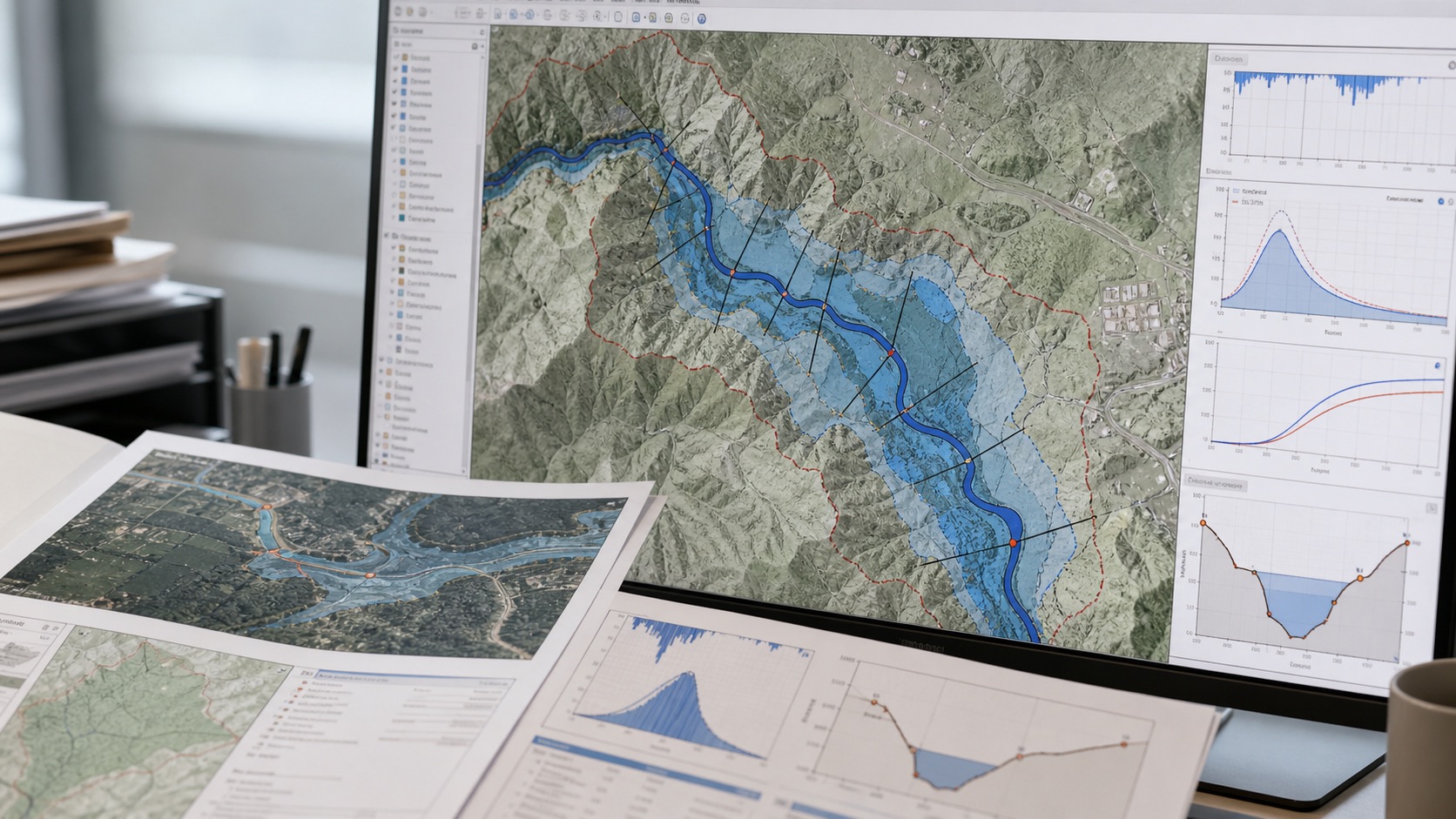
Engagement flow
A first discussion is usually enough to identify the geography, useful evidence, likely data gaps and the output your reviewers need.
Tell us the geography, user, deadline and business or engineering choice the work must support.
We identify available evidence, missing layers, assumptions, validation needs and the right level of analysis.
You get a report, map package, GIS layers, scorecard, dashboard or recommendation set matched to the workflow.
FAQ
A location list, project boundary, catchment, site map, business question, intended output and deadline are enough to begin scoping.
Yes. We can start with public, commercial or satellite sources, but missing evidence is documented as a limitation rather than hidden inside a score.
Typical outputs include PDF reports, maps, GIS layers, tables, ranked site lists, model documentation, APIs or lightweight dashboards.
Yes. Coverage depends on the required data sources, scale, official data availability and validation needs for the target geography.