Decision before technology
The correct model depends on the user, threshold, geography, consequence and time horizon.
About
Terropsis brings together geospatial engineering, data science, environmental modelling and domain-specific decision design.
Our purpose
A map can reveal a pattern, but a decision system must also explain the evidence, confidence, trade-offs and action. We design geospatial work around that complete chain.
Our scope goes beyond one product. We support flood and hydrology studies, remote sensing, climate analytics, site selection, infrastructure planning, spatial optimisation and geospatial risk analysis.
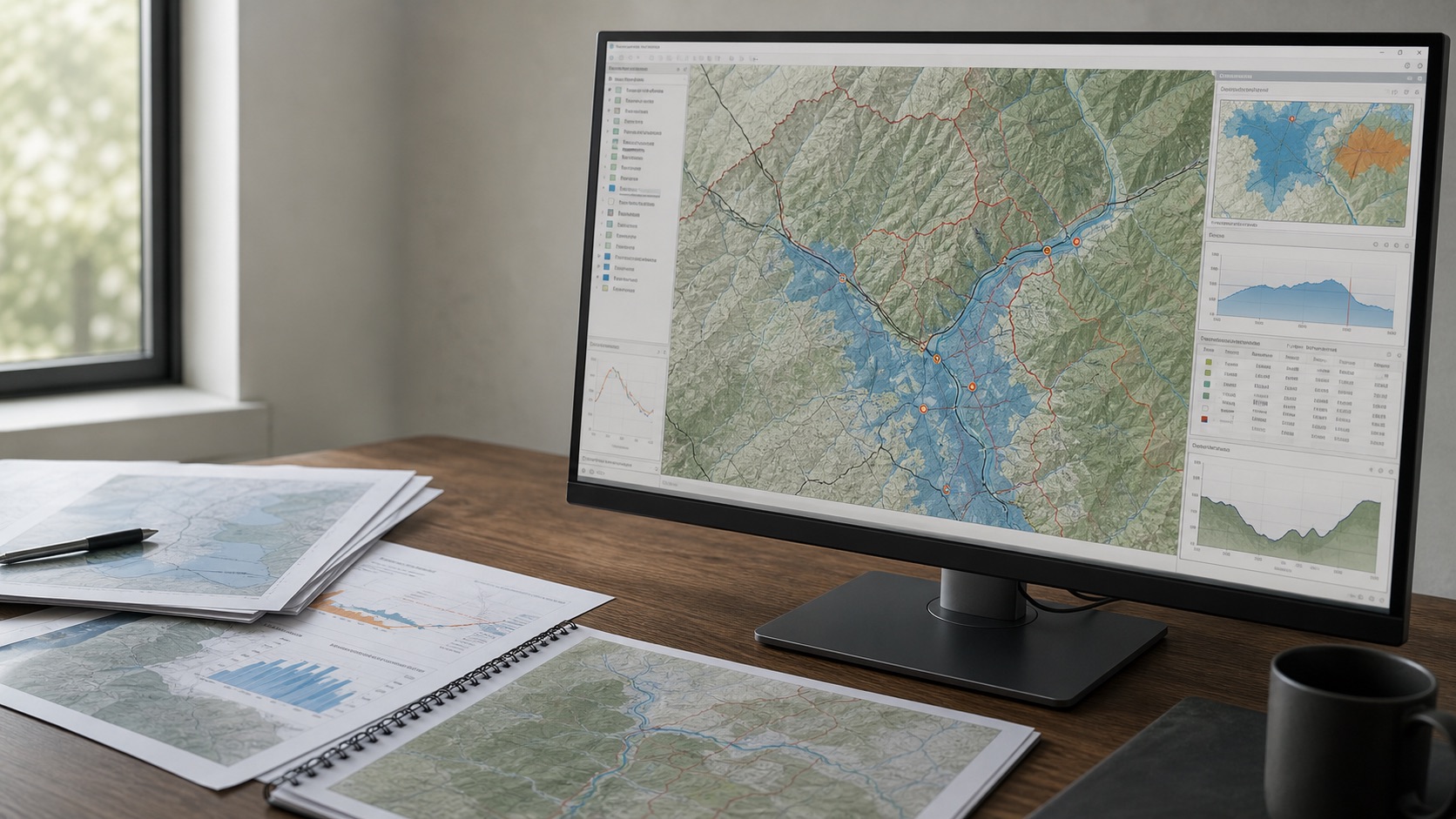
What our work looks like
We work at the intersection of terrain, infrastructure, climate, markets and people. The final output may be a screening score, a flood-risk map, a spatial dataset, an analytical report or a set of decision recommendations.
Our approach is to make the spatial logic visible, keep confidence explicit and ensure the result can be used by the teams making real decisions.
How we think
The correct model depends on the user, threshold, geography, consequence and time horizon.
Unavailable evidence is reported as a limitation, not silently interpreted as low or high risk.
A city statistic, catchment average and asset coordinate are not interchangeable.
Weights, sources, confidence, assumptions and sensitivity should travel with the result.
We can work with open-source GIS, public data and enterprise systems depending on project needs.
Credentials, provider calls, logs, rate limits and internal rules belong behind controlled server boundaries.
Capabilities
Projects can combine raster and vector analysis, remote sensing, hydrologic workflows, spatial statistics, optimisation, mapping and decision reporting.