Services

Geospatial analytics services for GIS mapping, remote sensing and risk modelling.

From rapid location intelligence to detailed hydrology, remote sensing and spatial data analysis, we match the method, data and delivery format to the business, farming or engineering question.

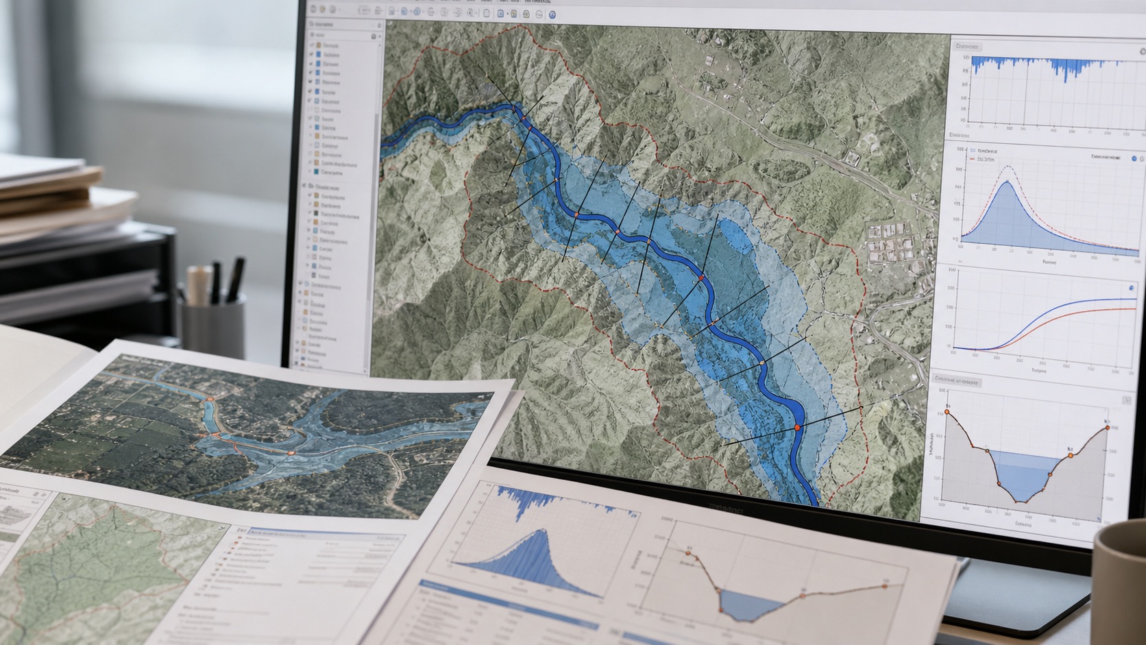
Flood and hydrology modelling illustration
Flood workflowsRainfall, catchments, runoff and inundation context.
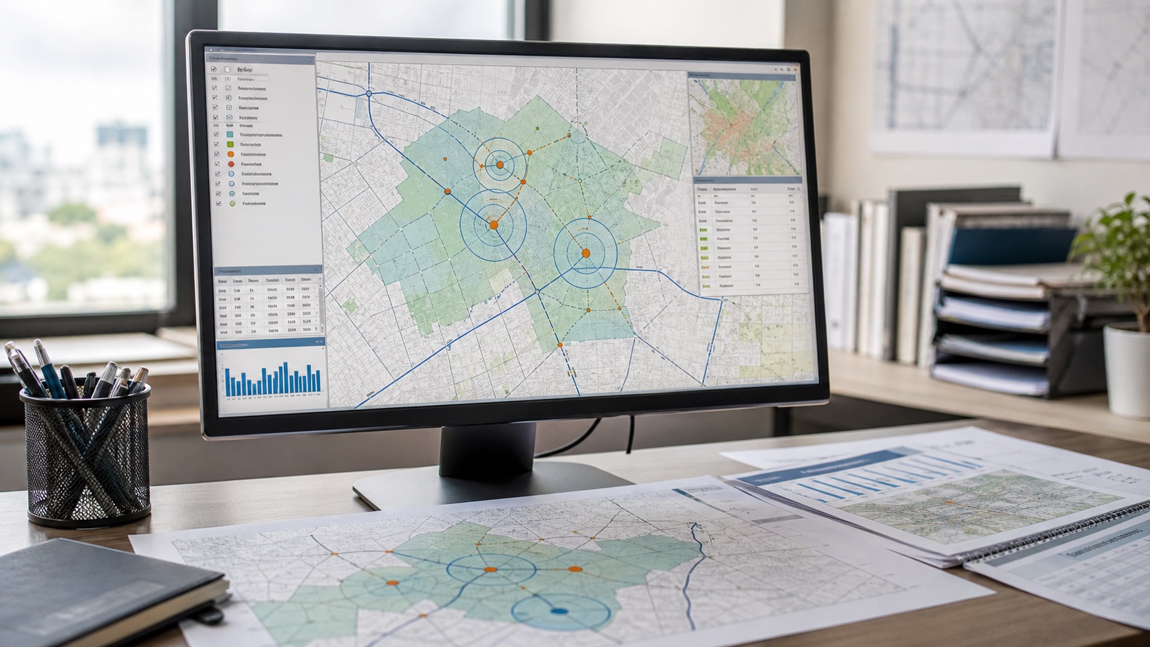
Urban geospatial and infrastructure illustration
Urban & infrastructureRoads, facilities, access, logistics and planning signals.
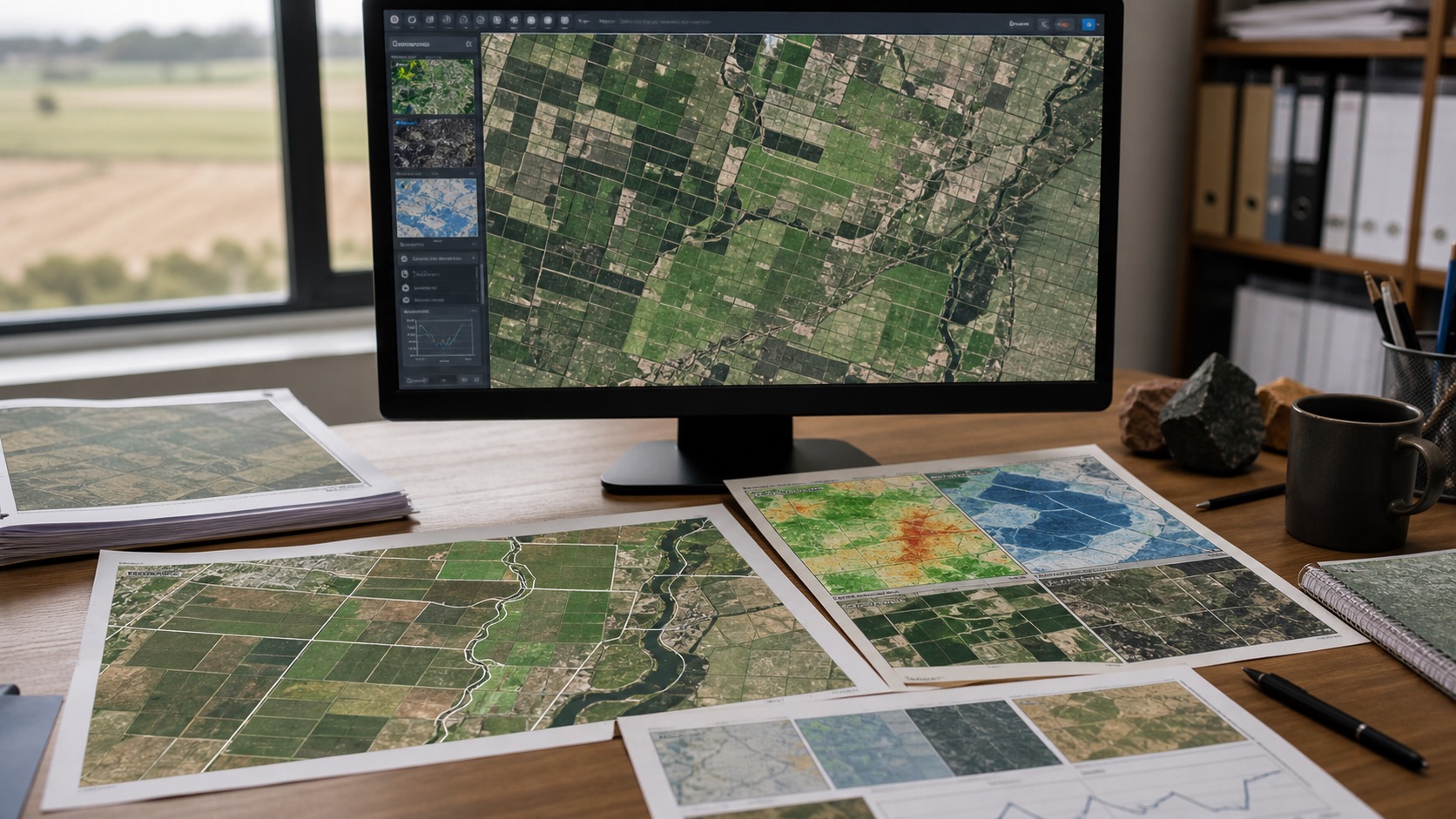
Remote sensing agriculture and farming analysis
Remote sensingLand, vegetation, water and climate monitoring.
01

Geospatial risk intelligence

Combine natural hazards, infrastructure, demographics, market context, environment and accessibility into asset-level location intelligence for screening and prioritisation.

  • Asset and portfolio exposure screening
  • Physical climate risk and environmental risk indicators
  • Domain-specific risk lenses
  • Weighted coverage and source confidence
  • Decision rules, maps and analytical reports
Explore GeoRisk Intelligence
⬇ Sample Report PDF
02

Flood risk mapping and hydrology modelling

Build traceable flood modelling workflows from terrain and rainfall to runoff, water levels, flood extents and decision-ready maps.

  • DEM preparation and catchment delineation
  • Rainfall records, IDF analysis and design storms
  • HEC-HMS-style hydrologic modelling workflows
  • 1D/2D hydraulic modelling support and inundation mapping
  • Asset exposure, outlet and recommendation maps
Explore flood modelling services
⬇ Sample Report PDF
03

Remote sensing for agriculture, farming and land intelligence

Convert satellite observations into interpretable indicators for crop monitoring, farming decisions, land, water, infrastructure and environmental monitoring.

  • Vegetation and crop-condition indicators
  • Farm boundary, acreage and field-priority analysis
  • Land-cover and land-use classification
  • Change detection and encroachment screening
  • Surface water, heat and moisture analysis
  • Cloud-aware time-series workflows
Explore remote sensing for agriculture
⬇ Sample Report PDF
04

Climate and ESG exposure

Screen physical climate and environmental exposure at asset, project, catchment or portfolio level.

  • Flood, heat, drought, storm and wildfire exposure
  • Water stress and environmental sensitivity
  • Scenario-based portfolio screening
  • Confidence, scale and data-gap reporting
⬇ Sample Report PDF
05

Site selection GIS and spatial optimisation

Rank locations using demand, access, competition, hazards, infrastructure and policy constraints for better location strategy.

  • Catchment and service-area analysis
  • Competitor and facility density
  • Network and route accessibility
  • Site suitability analysis and multi-criteria scoring
  • Facility location and coverage optimisation
⬇ Sample Report PDF
06

Infrastructure and urban analytics

Understand how built form, mobility, utilities, population and environmental constraints interact.

  • Infrastructure gap analysis
  • Urban growth and built-up intensity
  • Road, transit and accessibility analysis
  • Public-facility coverage and prioritisation
⬇ Sample Report PDF
07

Geospatial advisory and model review

Strengthen spatial methods, data choices and governance before or during implementation.

  • Problem framing and data architecture
  • Model validation and sensitivity review
  • Methodology documentation
  • Build-versus-buy and technology assessment
Explore GIS consulting services
⬇ Sample Report PDF

Service FAQ

Common geospatial analytics service questions.

What is a geospatial analytics service?

A geospatial analytics service turns location data, maps, satellite imagery, terrain, climate and infrastructure layers into decision-ready analysis, reports, GIS files and recommendations.

Do you provide remote sensing for agriculture and farming?

Yes. Remote sensing can support crop-condition monitoring, acreage checks, vegetation change, drought screening, irrigation context, field prioritisation and farm portfolio review.

Which geospatial solutions are most common?

Common solutions include flood-risk mapping, site selection, infrastructure access analysis, climate exposure screening, portfolio risk review and agriculture monitoring.

Can the work be delivered as GIS layers?

Yes. Depending on the project, outputs can include PDF reports, maps, shapefiles, GeoJSON, tables, ranked site lists, model notes and reusable scoring logic.

Need a custom combination of services?

Many projects combine GIS, hydrology, remote sensing, risk modelling and application development.

Discuss the requirement