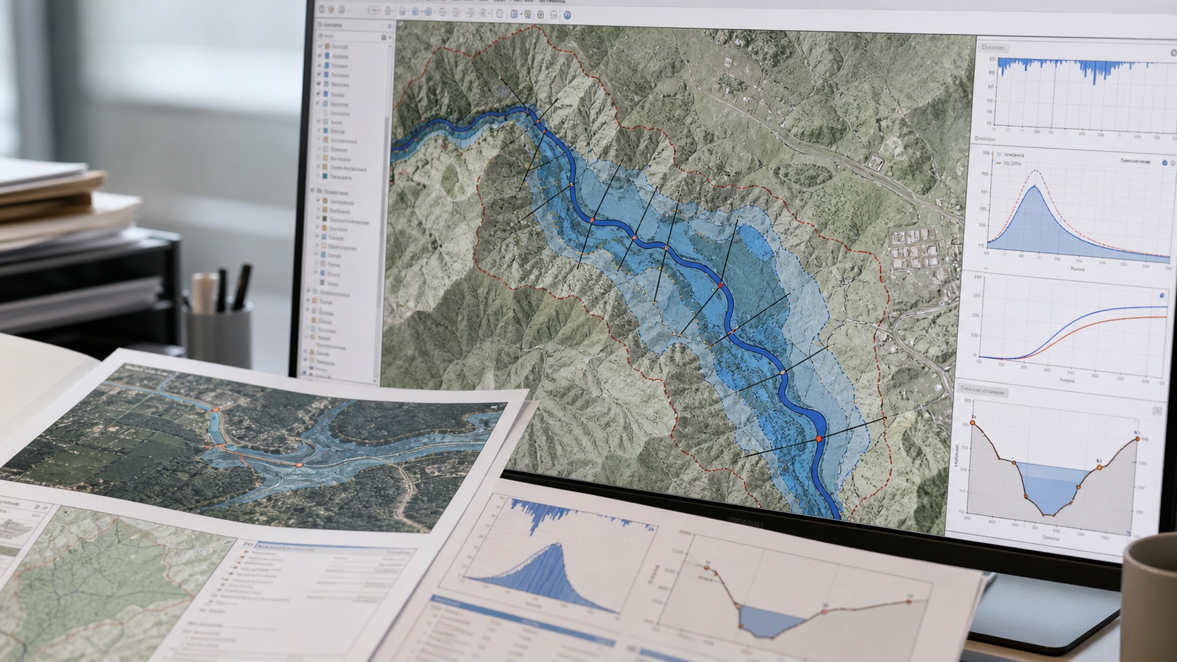
Flood & hydrology · 9 min read
From rainfall records to a decision-ready flood map
A practical guide to catchment delineation, design storms, flood hydrographs, hydraulic modelling, inundation maps and uncertainty.
Insights
Expert-led articles on spatial risk, flood and hydrology, remote sensing, site selection, data quality and geospatial product engineering.
A practical guide to catchment delineation, design storms, flood hydrographs, hydraulic modelling, inundation maps and uncertainty.
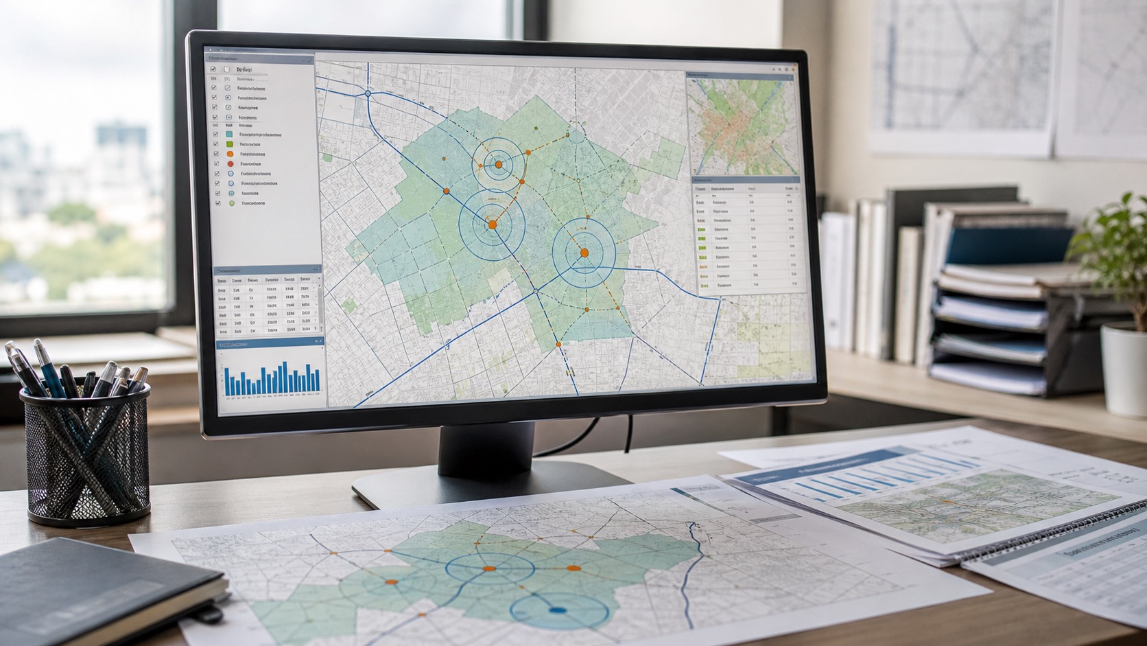
How to compare catchment demand, access, competition, hazards, cost and data confidence when selecting a site.
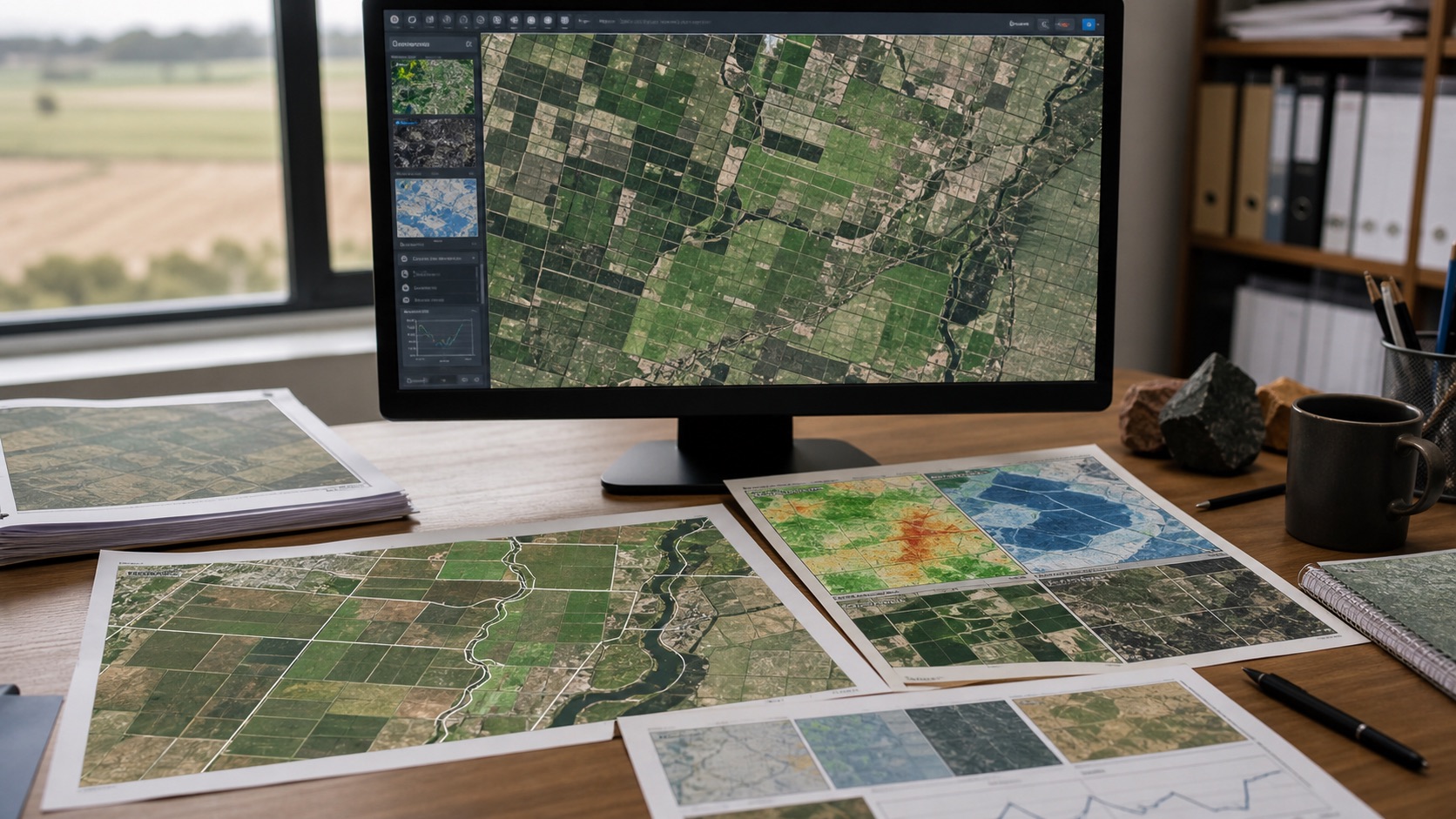
Crop monitoring, vegetation, moisture, land cover, change detection and responsible satellite-data use.
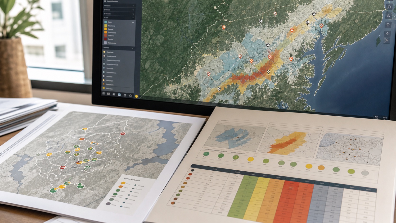
Why geospatial risk models need domain-specific weights, transparent confidence and decision-specific interpretation.
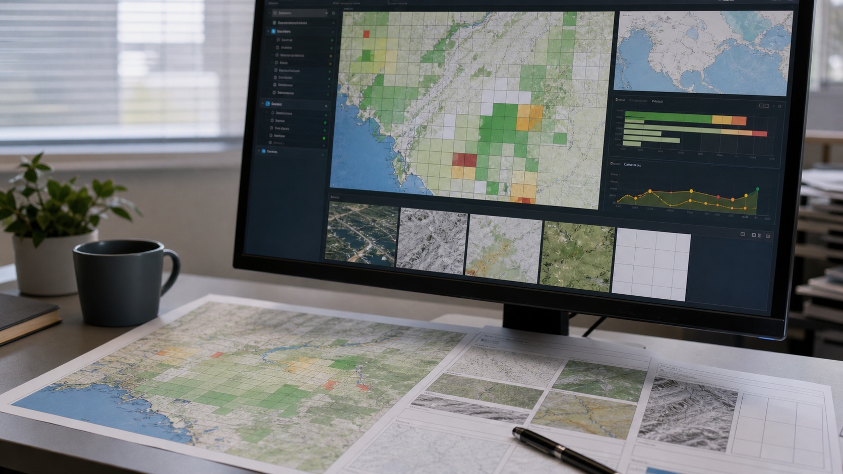
How coverage, confidence, freshness, scale and missing evidence should be handled in geospatial decision systems.
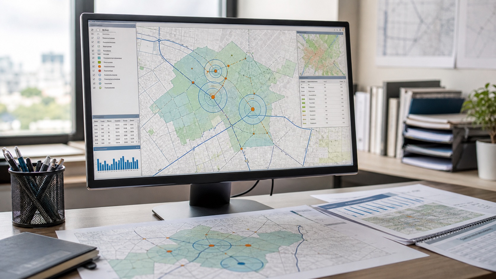
How hazards, access, market conditions and environmental exposure change business decisions across locations.
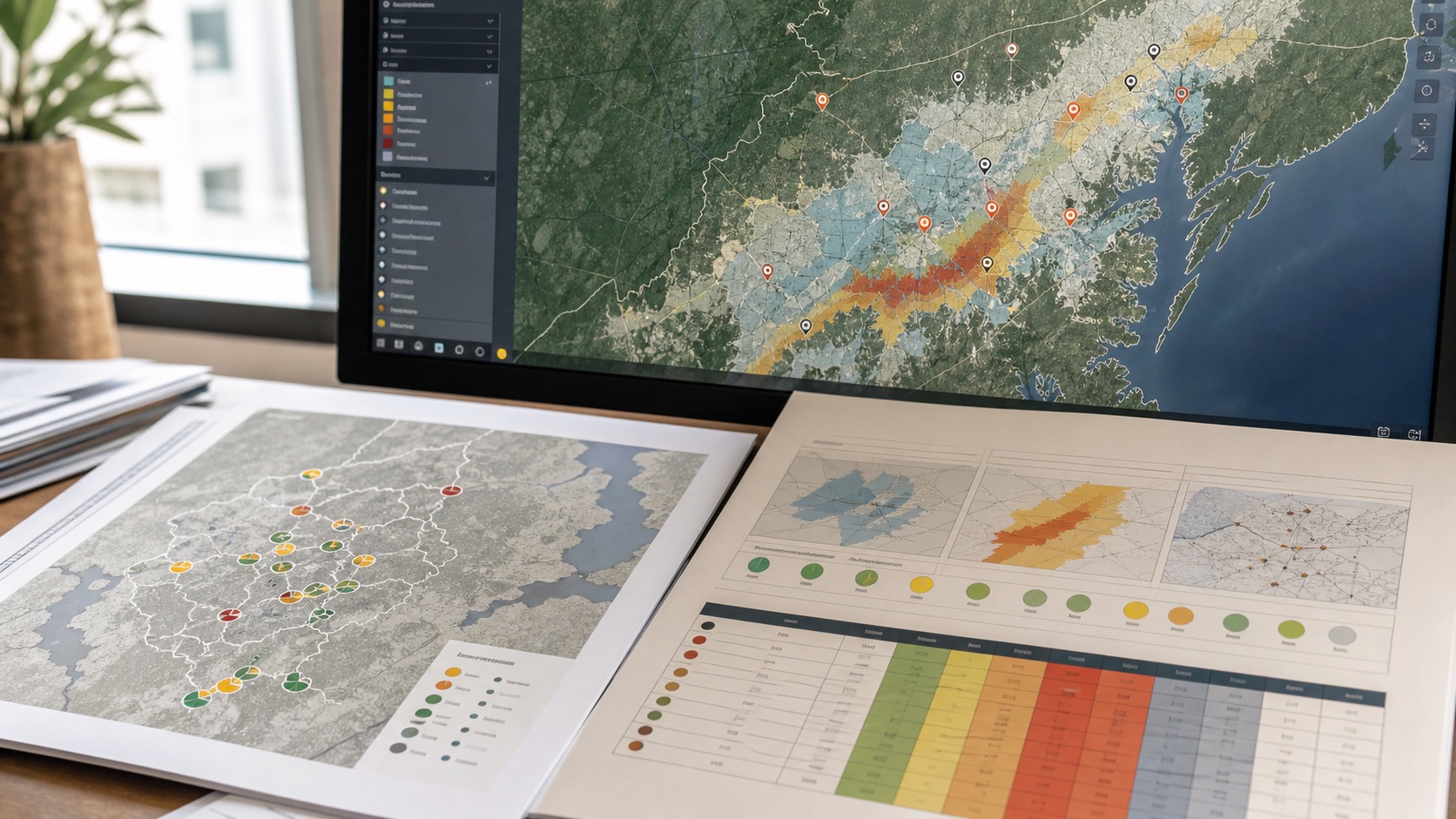
How a coordinate becomes a transparent multi-domain decision surface with weights, sources and confidence.