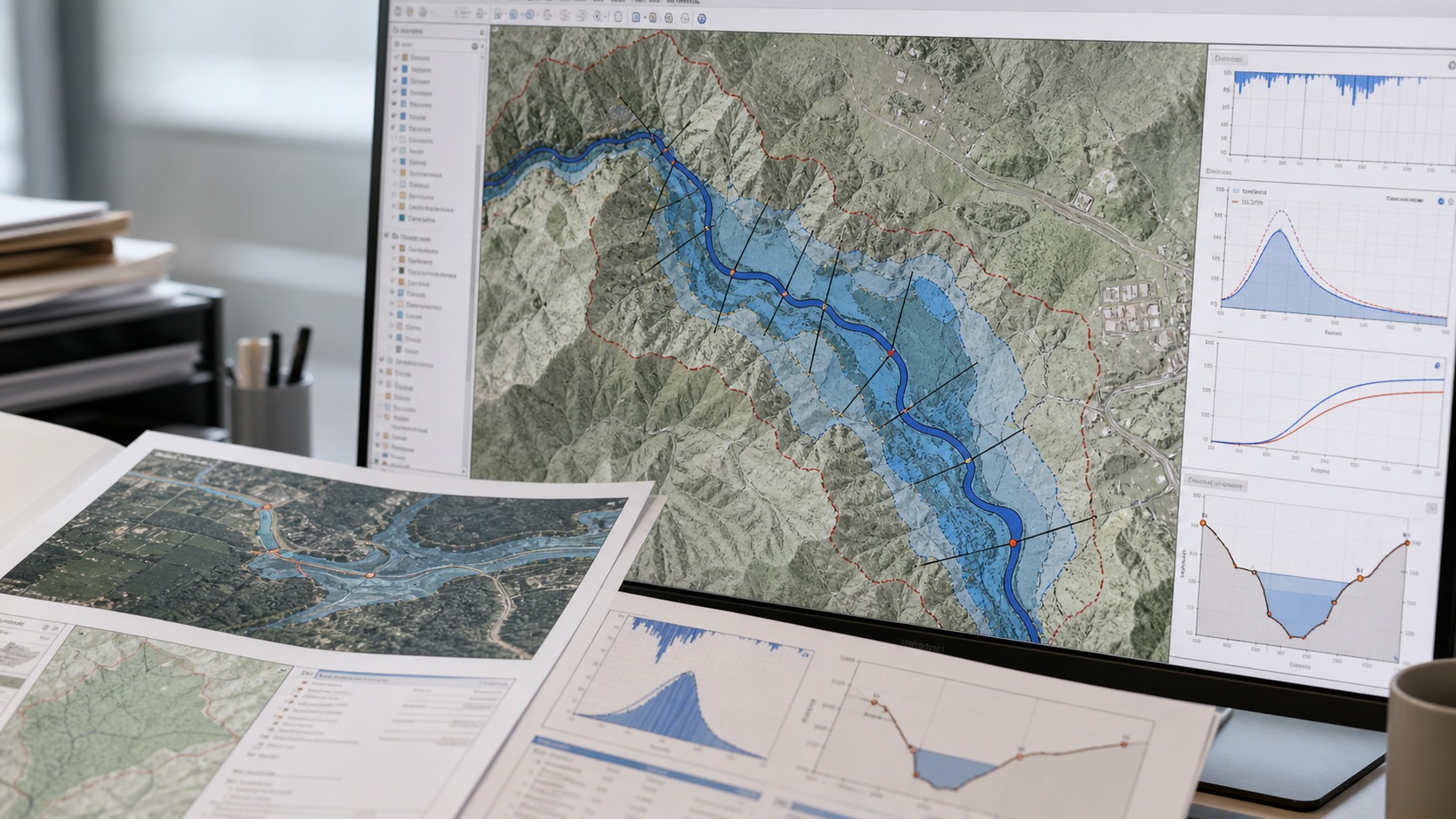
Flood maps are often presented as a finished visual: a blue extent over roads, plots and buildings. The useful work happens much earlier. A defensible flood study connects terrain, rainfall, catchment response, channels, structures and the intended planning decision into one traceable workflow.
Start with the decision, not the software
A drainage design study, an asset-screening exercise and an emergency-response plan do not need the same model. Before processing a digital elevation model, define the event being tested, the required spatial resolution, the assets at risk and the decision threshold. This determines whether a rapid susceptibility screen is enough or whether a calibrated hydrologic and hydraulic model is required.
Build a hydrologically meaningful terrain surface
Catchment delineation depends on the terrain model. Depressions, bridges, road embankments and coarse elevation cells can redirect flow in unrealistic ways. A practical workflow checks projection, vertical units, sinks, flow direction, flow accumulation, stream initiation thresholds and outlet placement. Field knowledge and local drainage drawings should be used to correct obvious artefacts rather than accepting every automated watershed boundary.
Translate rainfall into runoff
Rainfall records are converted into design storms or continuous rainfall inputs. IDF curves help define intensity for a selected duration and return period. Loss methods represent infiltration and storage, while transform methods convert excess rainfall into a catchment hydrograph. The result should be checked for volume balance, peak timing and sensitivity to antecedent moisture—not only whether the model finishes successfully.
Route the hydrograph through the river or drainage system
A hydraulic model uses channel geometry, terrain, roughness, boundary conditions and structures to estimate water level, velocity and inundation. One-dimensional models are efficient for well-defined channels. Two-dimensional models are valuable where water spreads across floodplains, urban roads or complex terrain. The choice should follow the physical behaviour and planning need rather than a preference for the most visually impressive output.
Turn water depth into a decision layer
Raw water-surface elevation is rarely the final product. Decision-ready outputs may include depth classes, velocity, hazard rating, affected buildings, road closures, critical-facility exposure, safe access routes and outlet constraints. Results should be accompanied by the scenario, resolution, assumptions and known limitations.
Represent uncertainty honestly
Rainfall frequency, terrain quality, roughness, structure dimensions and downstream water levels all introduce uncertainty. Sensitivity runs can show whether the recommendation is stable. A location that is safe only under one optimistic parameter set should not be presented with the same confidence as a location that remains safe across plausible scenarios.
A useful flood map does not merely show where water may go. It explains the scenario, confidence and action that should follow.