Flood modelling services

Flood modelling services and flood risk mapping for planning decisions.

Connect terrain, rainfall, catchment response, drainage constraints and exposed assets into inundation maps and reports that make flood risk easier to review.

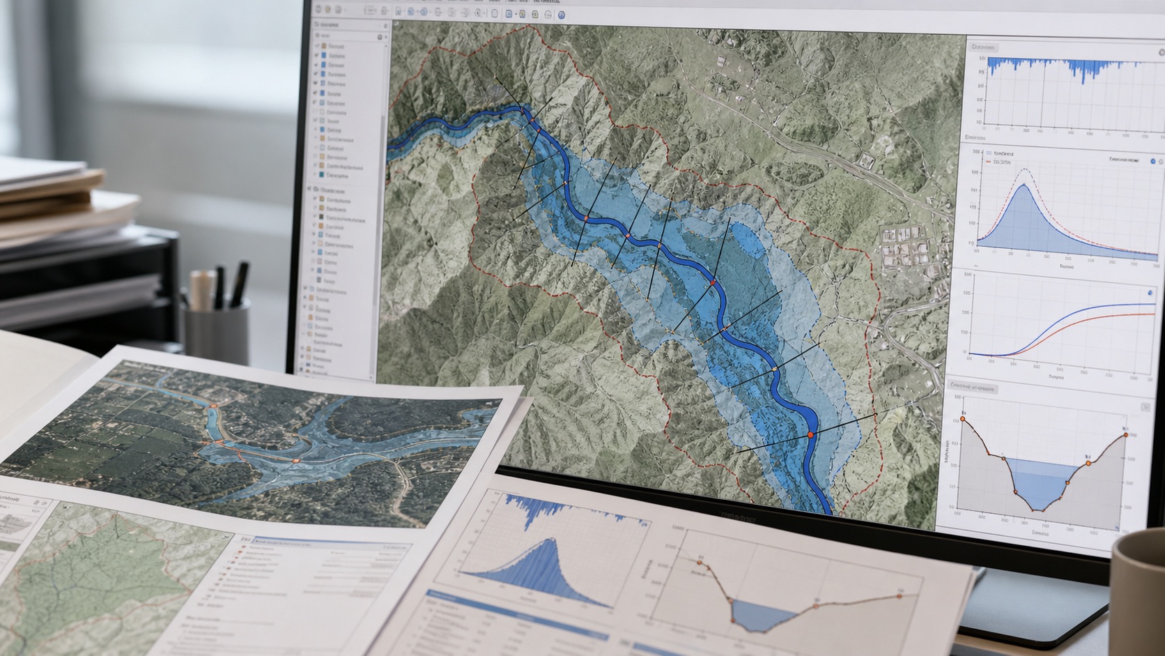
Flood modelling hydrology map and rainfall analysis
HydrologyRainfall, catchments, runoff and outlet context.
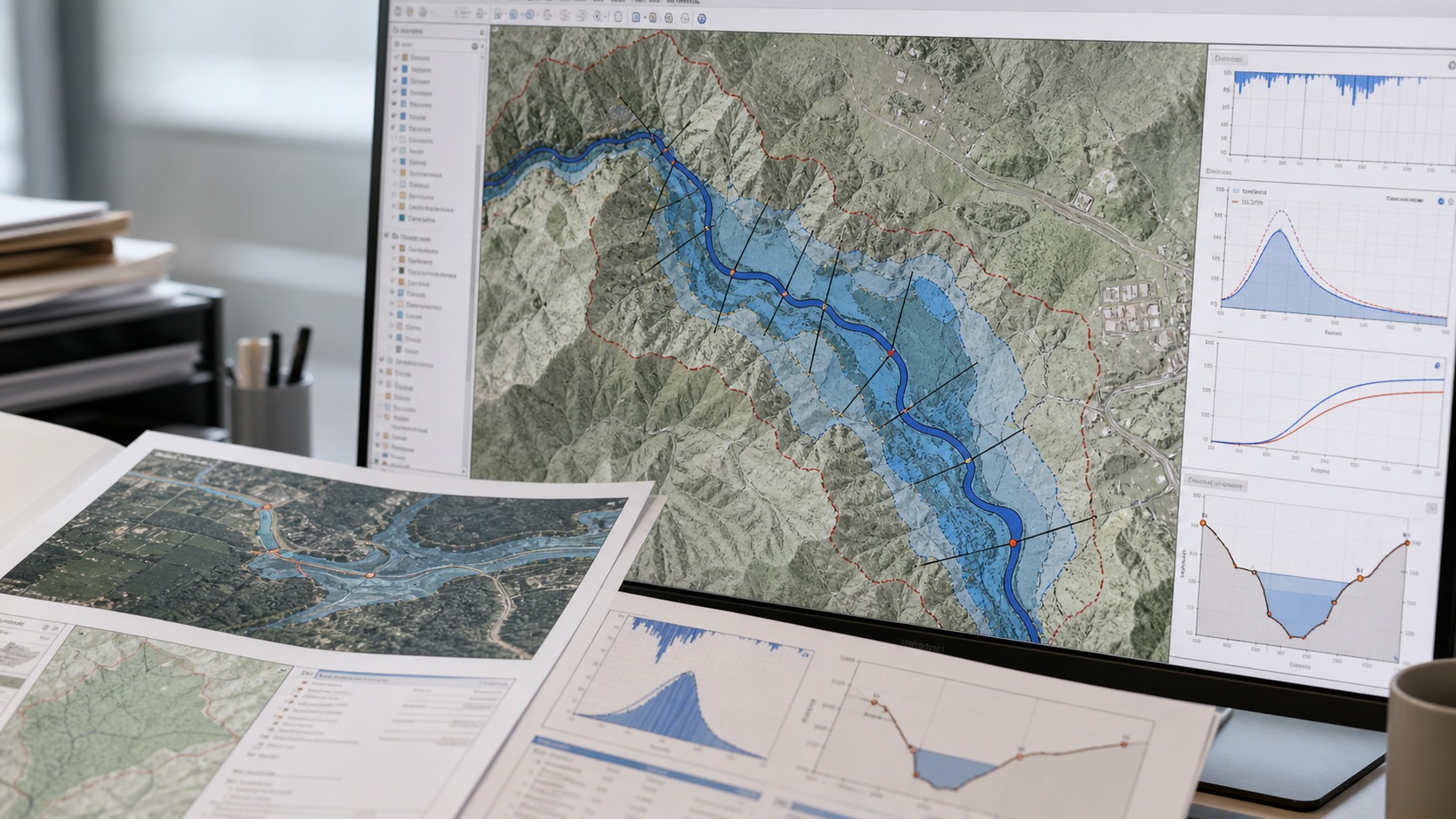
Flood risk mapping inundation workflow
Inundation mapsDepth, exposure and decision layers.
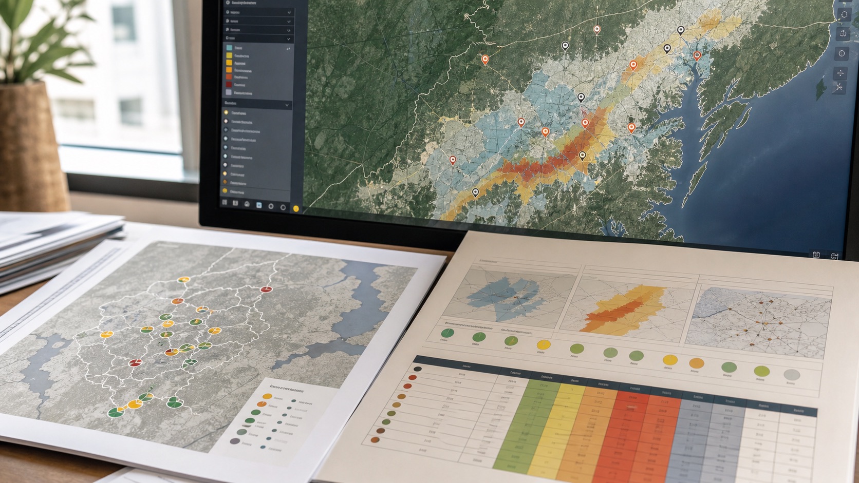
Asset flood exposure and risk screening
Asset exposurePriority locations and confidence notes.
01

Flood study inputs

A useful flood model starts with the decision, geography and available evidence. We document data quality before translating results into recommendations.

  • DEM preparation and terrain review
  • Catchment delineation and drainage analysis paths
  • Rainfall, IDF and design-storm assumptions
  • Land cover, imperviousness and runoff context
  • Structures, roads, outlets and local constraints
02

Modelling and mapping

Workflows can range from rapid flood susceptibility screening to deeper hydrologic and hydraulic modelling support depending on the risk, budget and data.

  • Rainfall-runoff and hydrograph preparation
  • HEC-HMS-style hydrologic workflows
  • 1D/2D hydraulic modelling support
  • Flood extent, depth and affected-asset maps
  • Sensitivity and uncertainty notes
03

Decision outputs

Outputs are built for review, not just presentation. Assumptions, scenarios and limits remain visible so teams can validate the next step.

  • Flood risk reports and planning notes
  • GIS layers for inundation mapping and exposed assets
  • Drainage constraint and outlet maps
  • Site or portfolio-level flood screening
  • Climate risk assessment context where flood, heat or water stress matters
  • Recommended field or engineering validation

Need flood risk evidence for a site or portfolio?

Send the boundary, assets, catchment, rainfall context or planning question and we will scope the right level of flood modelling.

Discuss the requirement