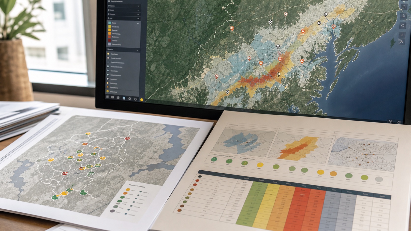
A coordinate does not have one universal meaning. The same place may be attractive for a retail outlet, exposed for an insurer, strategically useful for logistics and unsuitable for a hospital. A geospatial decision engine therefore needs a shared signal foundation and domain-specific interpretation.
Separate observations from decisions
Flood discharge, distance to a road, population density and nearby facilities are observations. A risk score is an interpretation of those observations for a particular decision. Keeping these layers separate allows the same underlying evidence to be reused without pretending that every sector values it equally.
Use domain lenses
Insurance may place greater weight on catastrophe exposure and built-up intensity. Retail may prioritise population, competition, access and footfall. Infrastructure finance may emphasise long-horizon hazards, governance, logistics and project access. Lending may combine location context with product-specific conditions such as collateral, tenure or affordability.
Normalise weights transparently
Weights should sum to a clear budget and be visible to the user. Signals that are irrelevant to a domain should receive zero weight rather than being included because data happens to be available. This improves explainability and prevents data-rich themes from dominating a score simply because they contain more variables.
Do not treat unavailable data as a favourable score
If a weighted signal is unavailable, the engine should reduce coverage or exclude the component according to a documented policy. Converting missing data to zero risk creates artificial confidence. Confidence and weighted coverage should be displayed beside the composite score so users can distinguish a well-supported result from a tentative one.
Keep recommendations separate from measurement
A composite risk level may trigger different actions: reject, insure, monitor, inspect, adjust pricing, reduce exposure or request additional data. Those actions are policy overlays and should be configurable. This makes it possible to update organisational rules without rewriting the core spatial observations.
Validate by decision outcome
A useful score is not validated only by whether its map looks plausible. It should be compared with known losses, service performance, branch outcomes, delays, defaults or other domain outcomes where appropriate. Back-testing, sensitivity analysis and expert review help identify weights that are unstable or unintentionally biased.
The goal is not to create a single number that appears certain. It is to make a complex location decision structured, transparent and testable.