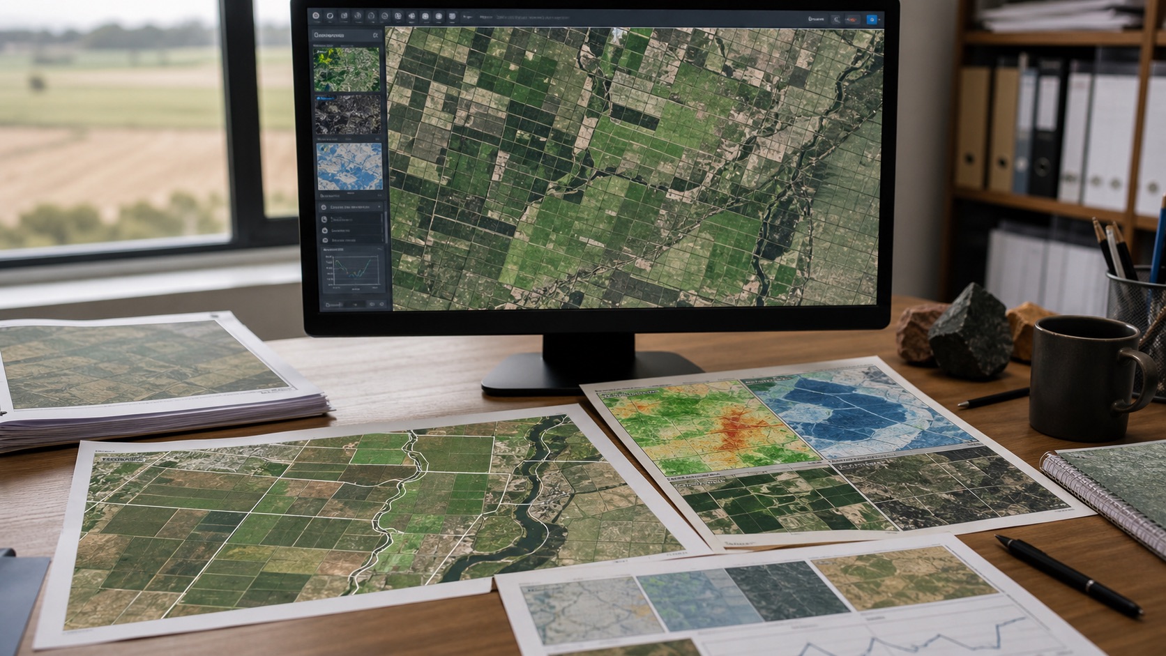
Remote sensing can observe large farming and agricultural areas repeatedly, including places where field surveys are expensive or slow. Its greatest value is not a single colourful vegetation map. It is the ability to compare crop, land and water patterns across space and time, detect change and guide where closer inspection is needed.
Choose the farming signal for the decision
Vegetation indices can indicate greenness or canopy response, but they are not direct measurements of yield, crop quality or farmer income. Moisture, temperature, rainfall, soil, crop calendar and management practices influence the interpretation. The signal should be selected after defining whether the agriculture decision concerns crop health, drought screening, acreage estimation, irrigation, insurance or land-use change.
Build a time series, not a snapshot
A single observation can be affected by cloud, haze, recent rainfall or crop stage. Time-series analysis compares the current season with previous periods or a local baseline. Phenology—the timing of growth, peak greenness and senescence—often provides more useful information than the maximum value alone.
Account for resolution and mixed pixels
A satellite pixel may contain several fields, roads, trees and water. Coarse products support regional monitoring but can misrepresent small farms. Higher resolution improves spatial detail but may have a longer revisit period, more processing requirements or limited historical depth. Resolution should match field size and the level at which a decision will be taken.
Combine satellite and ground information
Remote sensing becomes stronger when paired with weather stations, field boundaries, crop type, soil observations and local reports. Ground samples help calibrate or validate classifications. Even a modest sample can reveal whether a model is confusing bare soil, harvested land, cloud shadow or stressed vegetation.
Use change detection with context
Land-cover change can identify urban expansion, deforestation, new water bodies or altered cultivation. A change signal should include persistence and confidence. One unusual image should not automatically trigger a conclusion. Repeated observations and supporting sources reduce false alarms.
Move from map to action
Useful remote sensing outputs for agriculture and farming include field prioritisation, crop anomaly lists, drought monitoring zones, survey routes, irrigation alerts or portfolio-level exposure. The goal is to direct limited attention and resources more efficiently - not to claim that satellite data removes the need for agronomic judgement.