Renewable energy GIS

Solar site selection using GIS and remote sensing.

Screen land parcels for solar power plants using irradiance context, terrain, land cover, flood and drainage risk, road access, grid proximity and environmental constraints before committing to field surveys.

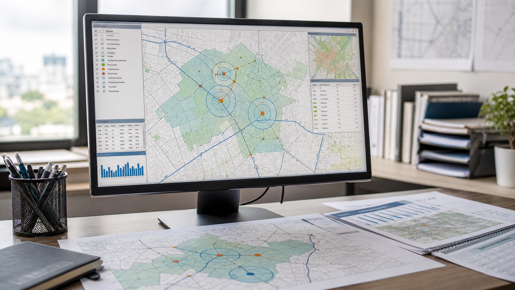
Solar site selection GIS terrain and access analysis
Site suitabilityLand, terrain, access and constraint screening.
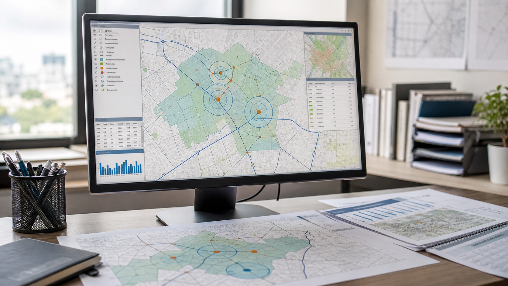
Solar farm GIS suitability scoring
Solar scoringIrradiance, slope, land cover, grid and risk side by side.
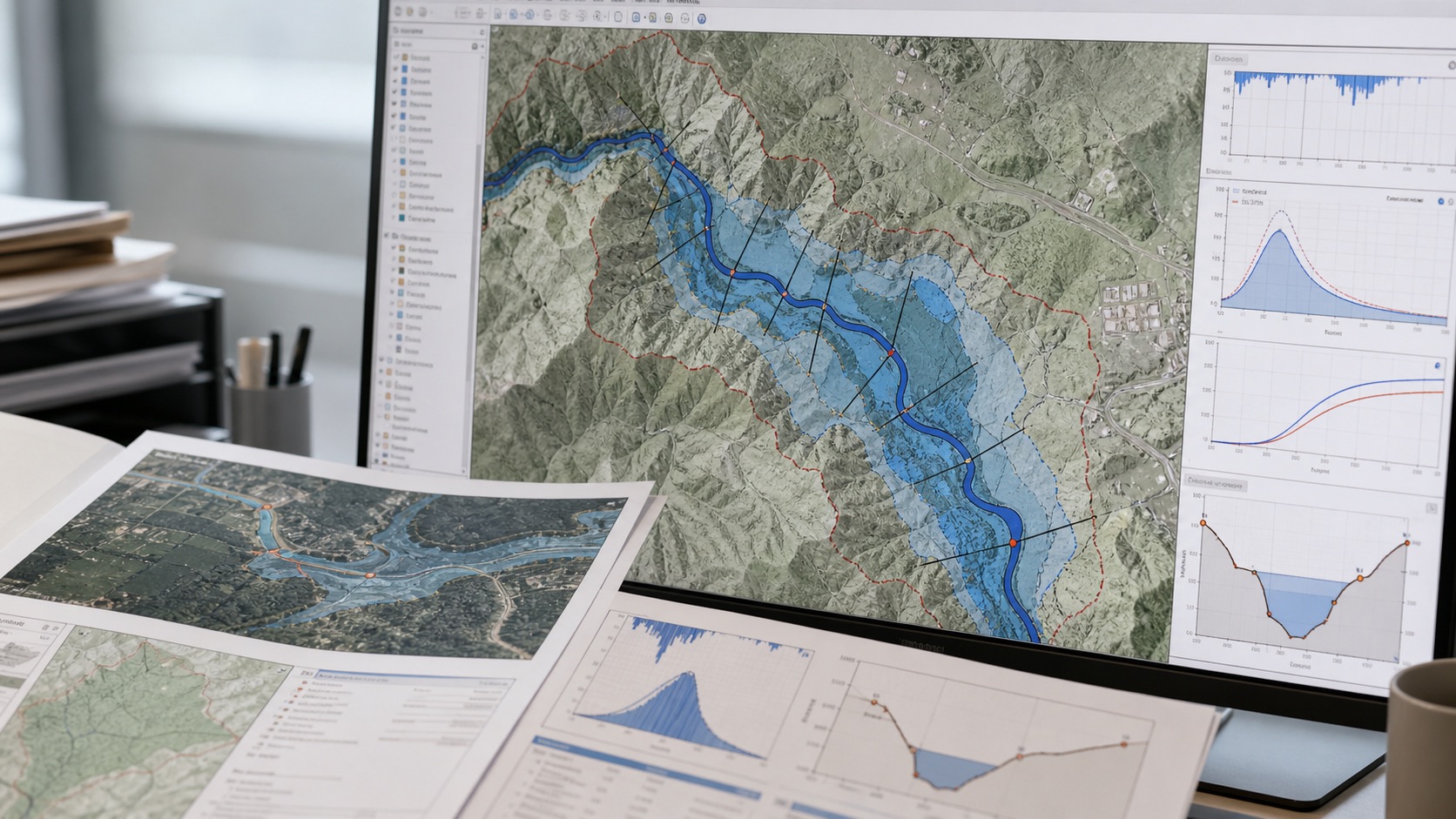
Solar plant flood and drainage risk mapping
Risk contextFlood, drainage, waterlogging and environmental friction.
01

Solar site screening inputs

A solar site needs more than open land. The first pass should combine energy potential, constructability, access, grid context, land-use constraints and environmental risk.

  • Candidate parcels, boundaries, land banks or search areas
  • Solar irradiance, cloud frequency and seasonal sunlight context
  • DEM-based slope, aspect, elevation and terrain roughness
  • Land use land cover, vegetation, water bodies and settlement proximity
  • Floodplains, drainage channels, ponding-prone zones and surface-water history
  • Road access, construction logistics, substations and transmission-line proximity
  • Protected areas, forests, wetlands, environmental sensitivity and exclusion zones
02

Solar suitability methods

Solar site selection GIS works best when hard exclusions are separated from weighted preferences. A site can be sunny but still weak because of slope, flooding, land conflict, access or grid distance.

  • Irradiance screening: compare long-term solar resource, cloud patterns and seasonal reliability.
  • Slope and aspect analysis: identify flatter areas, steep slopes, north/south orientation issues and grading constraints.
  • Land cover classification: distinguish barren land, cropland, forest, settlement, water, scrub and built-up areas using satellite imagery.
  • Vegetation and clearing review: use NDVI and time-series imagery to estimate vegetation density and seasonal clearing implications.
  • Flood and drainage screening: map drainage paths, flow accumulation, flood-prone areas, surface water and waterlogging indicators.
  • Access and logistics analysis: evaluate distance to roads, tracks, settlements, construction access and route constraints.
  • Grid proximity analysis: map distance to substations, transmission lines and corridors where reliable data is available.
  • Environmental constraint overlay: screen protected areas, wetlands, water bodies, forest, habitat-sensitive zones and land-use conflicts.
  • Multi-criteria solar scoring: combine exclusions, weighted criteria and confidence notes into ranked solar site suitability classes.
03

Solar deliverables

Outputs are designed for pre-feasibility review and field planning. Remote sensing can narrow the search, but final approval still needs ownership, grid capacity, environmental permission, geotechnical review and ground validation.

  • Solar site suitability map with ranked candidate areas
  • Exclusion map for steep slopes, water, settlements, protected land and high-risk zones
  • Flood, drainage and surface-water risk overlays
  • Road access and grid proximity maps
  • Parcel-level scoring table with criteria, weights and confidence notes
  • GIS layers in GeoJSON, shapefile or project formats
  • Field validation checklist for the shortlisted sites
04

When solar GIS screening helps

This workflow is useful when developers, investors, EPC teams or land teams need to compare many sites before deeper technical due diligence.

  • Solar farm site shortlisting across a district or land bank
  • Pre-feasibility screening before land acquisition or lease review
  • Portfolio review of many proposed solar sites
  • Flood and drainage risk screening for solar plant layouts
  • Transmission, substation and access corridor prioritisation
  • Environmental and land-use conflict screening before field survey

Have a solar site or land bank to screen?

Send boundaries, candidate parcels, grid context or a search region and we will scope a GIS and remote sensing solar site selection workflow.

Discuss the requirement