

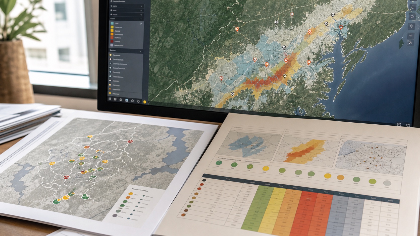
Location intelligence

Geospatial site selection and GIS site suitability analysis.

Compare sites using MCDM, AHP-style weighting, suitability indices, catchment demand, accessibility, POIs, trade-area context, competitors, hazards, infrastructure constraints, operating cost and data confidence instead of relying on one generic score.

Geospatial site selection GIS city and network analysis
Access and networkTravel time, catchments, routes and service areas.
Site selection GIS scoring and location intelligence
Site scoringOpportunity, risk, cost and confidence side by side.
Location risk analysis for site selection
Risk contextFlood, climate, infrastructure and environmental friction.
01

Site selection inputs

The right location model depends on the job of the site. We separate opportunity, access, risk and confidence so trade-offs remain clear.

  • Candidate sites, parcels, branches or service points
  • Population, market analysis and demand context
  • Road access, travel time and service areas
  • Competitor analysis, facility density and amenity context
  • Flood, climate, terrain and environmental constraints
02

Scoring approach

We use transparent criteria and sensitivity checks rather than hiding everything inside a black-box location score.

  • Multi-criteria GIS site selection
  • Site suitability analysis with weighted opportunity, access and risk dimensions
  • Catchment, service-area and trade-area comparison
  • Accessibility analysis for travel time and service coverage
  • Shortlist maps and ranked site tables
  • Confidence notes for weak or missing data
03

Use cases

Geospatial site selection supports any decision where location affects demand, service quality, cost or exposure.

  • Retail, service and branch network planning
  • Warehouse, logistics and route-dependent facilities
  • Healthcare and public facility access
  • Infrastructure and energy project screening
  • Real estate, land and portfolio review
04

Site selection methods

Site selection GIS works best when opportunity, access, risk and confidence are scored separately before they are combined into a transparent suitability index or shortlist.

  • Catchment analysis: define trade areas, demand zones, service areas and population reach around each candidate site.
  • Accessibility analysis: compare travel time, road access, transit, logistics links, walkability or route dependency depending on the use case.
  • Competitor and facility density: measure nearby competitors, complementary services, anchors, amenities or gaps in coverage.
  • Market and demographic scoring: combine population, income, economic activity, age structure, land use and growth context where available.
  • Hazard and constraint screening: check flood, climate, terrain, environmental sensitivity, policy constraints and infrastructure friction.
  • MCDM and AHP weighting: structure criteria, weights and consistency checks so the suitability model can be defended and adjusted.
  • Fuzzy or threshold scoring: use continuous suitability classes where strict yes/no exclusions would hide uncertainty.
  • GeoAI-assisted review: use machine-learning or clustering support where large candidate sets need pattern detection before expert validation.
  • Scenario and sensitivity testing: rerun rankings under alternative weights to see whether the same locations remain strong.
  • Shortlist mapping: produce ranked tables, maps, GIS layers and notes that explain why each site is recommended or rejected.

Have sites to compare?

Send a site list, boundary, market area or target criteria and we will scope a geospatial site selection workflow.

Discuss the requirement