01
GIS project support
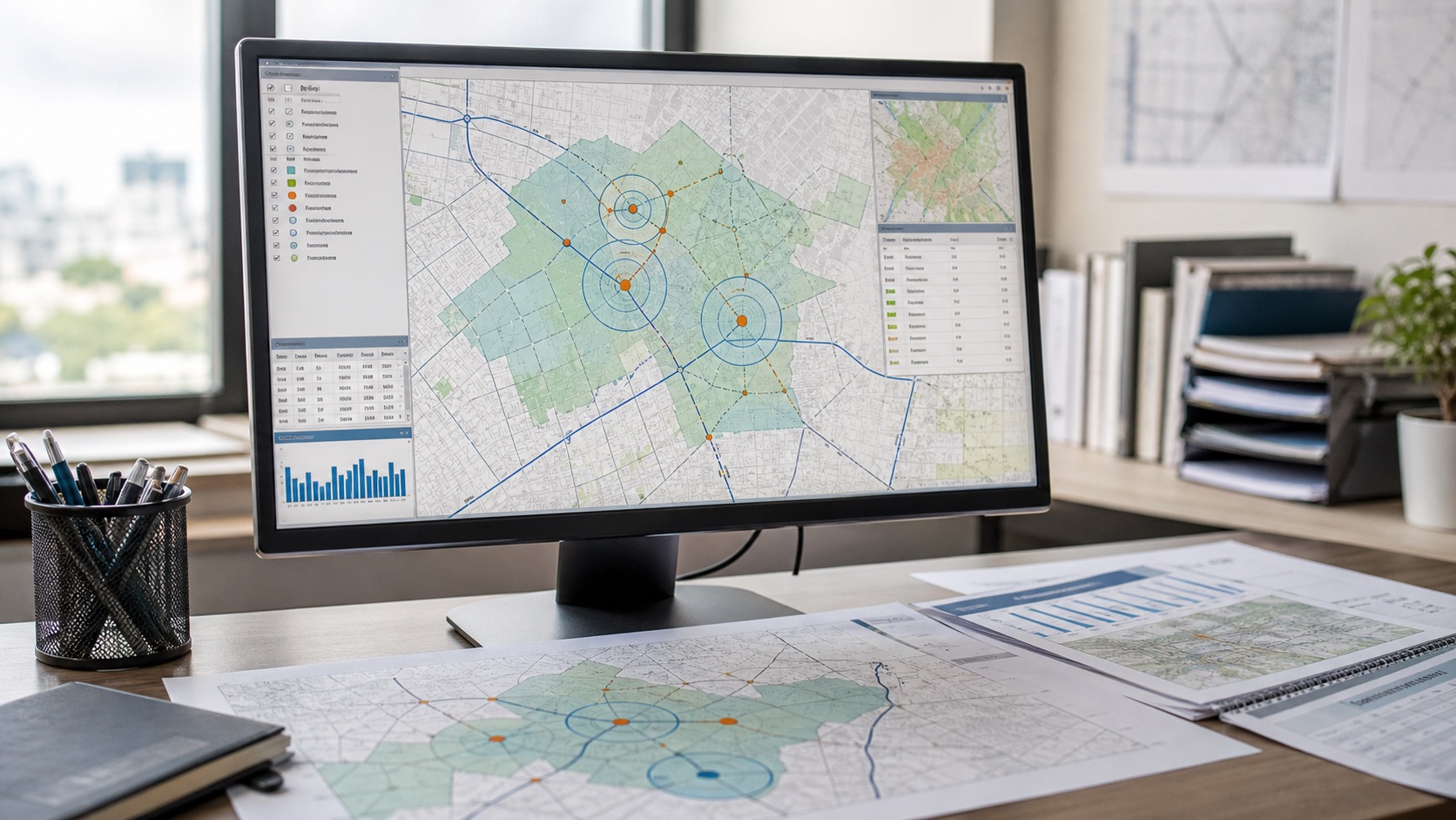
We help shape the spatial method, clean the inputs and turn the result into something your team can reuse or review.
- GIS mapping services and thematic map production
- Spatial data analysis, cleanup and format conversion
- Geospatial data analysis for assets, sites and boundaries
- Geocoding, boundary and asset-layer review
- Spatial joins, overlays and proximity analysis
- QGIS, ArcGIS and open-source workflow support